Canada’s Lost Worlds
All around the world, folklore is replete with tales of lost lands which modern explorers have failed to relocate. Since Classical Antiquity, Greek scholars have written about Atlantis, a bygone island continent in the Atlantic Ocean whose inhabitants besieged ancient Athens before their homeland sank into the sea. In the mid-1400s, Portuguese mariners kicked off the Age of Exploration by searching the western coast of Africa for the Kingdom of Prester John, a legendary Christian enclave in the heart of the Islamic world, whispered of in Christendom since the days of the First Crusade. Nearly a century later, Spanish conquistadors scoured the jungles of South America for El Dorado, a legendary lost city of gold. Other lost lands include Shambhala, a paradisiacal valley in the Himalayas alluded to in Hindu and Tibetan Buddhist mythology; the Isle of Avalon, the legendary final resting place of King Arthur; and Aztlan, the mythical homeland of the Aztecs.
The Lands of Viking Legend
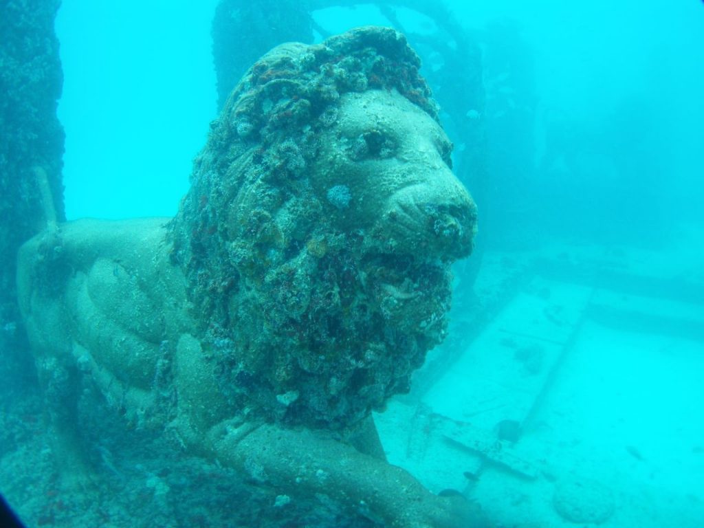
It might surprise some Canadians to learn that Canada has a few ‘lost world’ legends of its own. The oldest of these have their roots in the 10th Century Viking voyages to Canada– legendary Norse expeditions immortalized in medieval Icelandic sagas and verified by the ruins of a Viking settlement discovered at the northernmost tip of Newfoundland in 1960.
Helluland, Markland, and Vinland
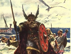 The Icelandic sagas describe Viking discoveries of three regions west of Greenland. The northernmost of these is Helluland, a barren domain of arctic foxes and flat stones which many believe to be the eastern shores of Baffin Island. Below Helluland, Viking mariners discovered Markland, a region carpeted with dense evergreen forests filled with wild animals, believed to be northern Labrador. South of Markland, Norse explorers came upon a land abundant with wild grapes, which they called Vinland.
Today, historians disagree as to the location of this third region discovered by Viking explorers. Some believe Vinland to be northern Newfoundland, where archaeological evidence indicates a Norse settlement once stood around the turn of the last millennia. Others argue that Vinland must lie further south, perhaps in New Brunswick or New England, where grapes grow naturally in the wild. Others still believe Vinland to be a fabrication intended to attract Viking settlers to a harsher, more northerly colony in the New World.
Land of the One-Footers
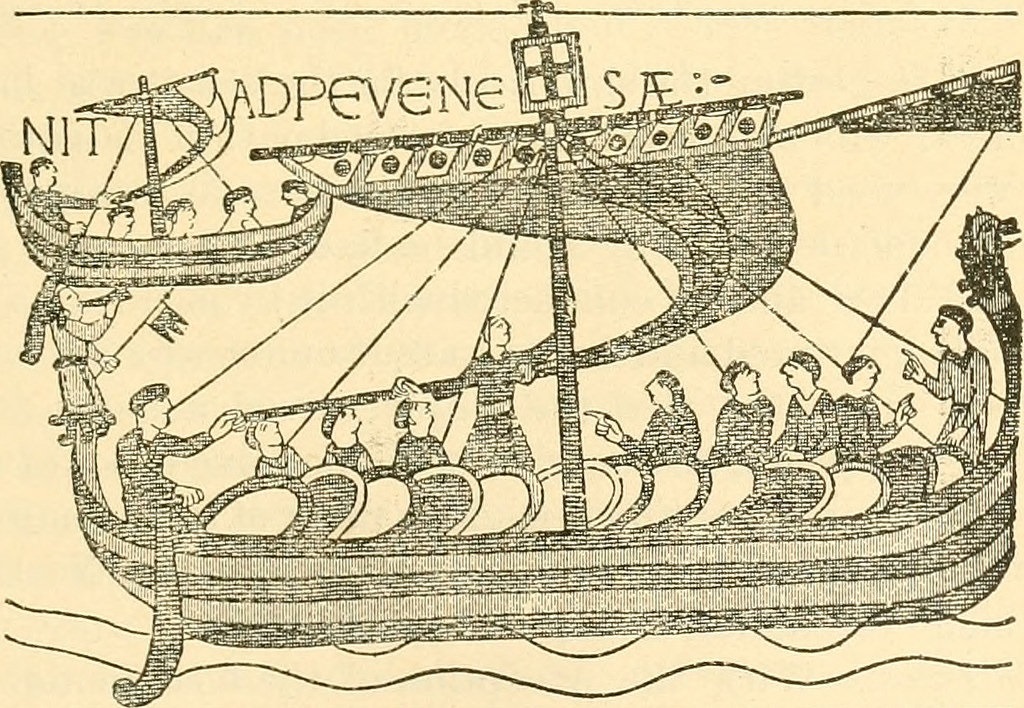
In the Saga of Erik the Red, the younger of the two Icelandic sagas to chronicle the Norse exploration of the Americas, a party of Viking explorers abandoned their temporary settlement at Vinland after surviving a skirmish with the Skraelingar– Vinland’s diminutive fur-clad natives. They sailed their longships northwest along North America’s Atlantic coast before proceeding up an east-flowing river.
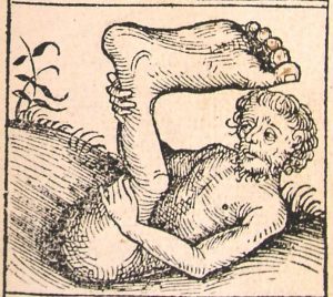
One morning, while camped on the river’s northern shore, the Vikings were attacked by a “One-Footer”- a mythical one-legged dwarf which hopped from place to place. Also known as “monopods” and “sciapods”, these characters feature in the writings of the Ancient Greeks and Romans, even appearing in Roman polymath Pliny the Elder’s 1st Century encyclopedia Naturalis Historia. These agile one-footed monsters were said to abide in India, and their appearance in the Saga of Erik the Red might be reflective of a mistaken belief held by the Vikings that Helluland, Markland, and Vinland constituted the eastern shores of the Orient.
The One-Footer hopped up to the Vikings and shot their leader in the lower abdomen with an arrow. The Norseman drew out the projectile and joked that Vinland must be bountiful indeed, as he had grown such a belly that winter that the arrow had failed to harm him. The One-Footer then hopped away to the north, quickly out-distancing the Vikings who pursued him. The Norsemen briefly ventured north into what they assumed must be the land of the One-Footers. Not particularly desirous of another encounter with the little arrow-wielding monsters, however, the explorers soon decided to return to their ship.
Kingdoms of the Skraeling
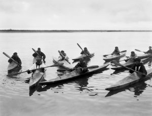 After spending three more years in the New World, the Vikings sailed for Greenland, their home. En route, they stopped in Markland, where they came upon a family of Skraelings consisting of a bearded man, two women, and two children. Although the Norsemen managed to capture the children, the man and the two women disappeared down holes in the earth.
The Vikings adopted the children and taught them their language, Old Norse. The little natives later told their captors that two kings- one of them named Avalldamon, and the other Valldidida- ruled over the land of the Skraeling. The children claimed that their people did not live in houses, but rather dwelled in caves or holes in the earth.
White Man’s Land
The native children whom the Vikings captured also alleged that adjacent to their homeland was another territory inhabited by people who dressed in white garments, whose customs included uttering loud cries, carrying long poles, and wearing fringes. The Vikings dubbed this place Hvitramannaland, or “White Man’s Land”.
 According to a 14th Century Icelandic manuscript called the Hauksbok, the Vikings believed “White Man’s Land” to be inhabited by a people called the Albani, or “Albinos”, whose hair and skin were “as white as snow”. Other medieval Icelandic manuscripts, including the Landnamabok and the Saga of the People of Eire, indicate that the Albani were believed to be of Irish Gaelic descent, and that “White Man’s Land” was also known as “Hibernia Major”, or “Great Ireland”. Some academics have attempted to draw a connection between the Albani and the Papar, the latter being Irish monks who had occupied the Orkney Islands, the Faroe Islands, and Iceland prior to Viking expansion in the Early Middle Ages, and whom some believe fled their remote abodes as a result of pagan persecution. In his controversial 1998 book The Farfarers: Before the Norse, Canadian writer and biologist Farley Mowat identified “White Man’s Land” as the desolate western coast of Newfoundland, positing that its Albani inhabitants were Neolithic Britons who voyaged across the Atlantic thousands of years ago, having been displaced by the Celts.
.
Today, most historians dismiss the Land of the One-Footers, the Kingdoms of the Skraeling, and White Man’s Land as either fictional embellishments resultant of centuries of oral transmission or fables dreamed up by the author of the Saga of Erik the Red, the more fantastical of the two Icelandic sagas to describe the Viking voyages to the Americas. A few imaginative scholars have treated the stories seriously and attempted to pinpoint the locations of these lost lands of Viking legend, but none of their theories have gained universal acceptance in the academic community. Unless they are illuminated by new archaeological or historical discoveries, it is likely that the true identities of these lost Viking lands will remain a mystery.
The Lost Kingdom of Saguenay
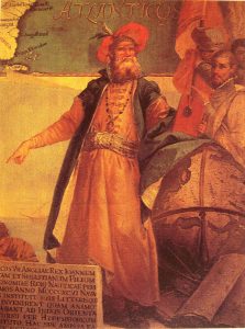
In 1492, Italian navigator Christopher Columbus rediscovered the New World under the auspices of King Ferdinand II of Aragon and Queen Isabella I of Castile, the rulers of what would soon become a united Spain. Five years later, another Italian navigator named Giovanni Caboto, or John Cabot, sailed west from Bristol, England, in the hope of discovering an alternate route to Asia on behalf of King Henry VII. Instead, he discovered the eastern shores of what was either Newfoundland or Nova Scotia.
A little late to the game, France launched its own New World expeditions in the early 1500s. First, in 1524, an Italian mariner named Giovanni da Verrazzano explored the Atlantic seaboard from Florida to Newfoundland, claiming everything between the southern colony of New Spain and the northern English colony of Newfoundland for King Francis I of France. A decade later, Breton mariner Jacques Cartier explored and mapped the Gulf of St. Lawrence on behalf of the same French king, planting a 10-metre-tall wooden cross bearing the words “Long Live the King of France” (in French) on the shores of Gaspe Bay near the mouth of the St. Lawrence River.
In the summer of 1534, while erecting that cross, Jacques Cartier and his crew encountered a band of Iroquois Indians who had come to the area for their annual seal hunt. Using sign language, Cartier spoke with the band’s chief, Donnacona, and coerced him into allowing two of his sons, named Taignoagny and Dom Agaya, to accompany him across the ocean to France.
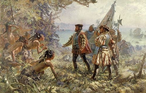
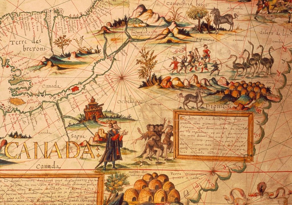
During the homeward voyage, Cartier learned from his two Iroquois guests that the village over which their father presided- located at the site of what is now Quebec City- was called a “kanata”. Cartier misinterpreted this Iroquois word, which means “village”, as a denotation for the entire region, and dubbed the country “Canada”.
In May 1535, Jacques Cartier embarked on his second voyage to Canada, equipped with three ships and 110 men and accompanied by the two sons of Chief Donnacona. After a long voyage across the Atlantic, Tainoagny and Dom Agaya led the French explorers across the Gulf of St. Lawrence and up the St. Lawrence River, bound for their father’s village, Stadacona. At a point about 190 kilometres (118 miles) downriver from the village, the natives pointed out the mouth of a tributary which emptied into the St. Lawrence on their starboard side (known today as the Saguenay River) and casually remarked that if they travelled west up that river for two days, they would come to the border of a kingdom called Saguenay.
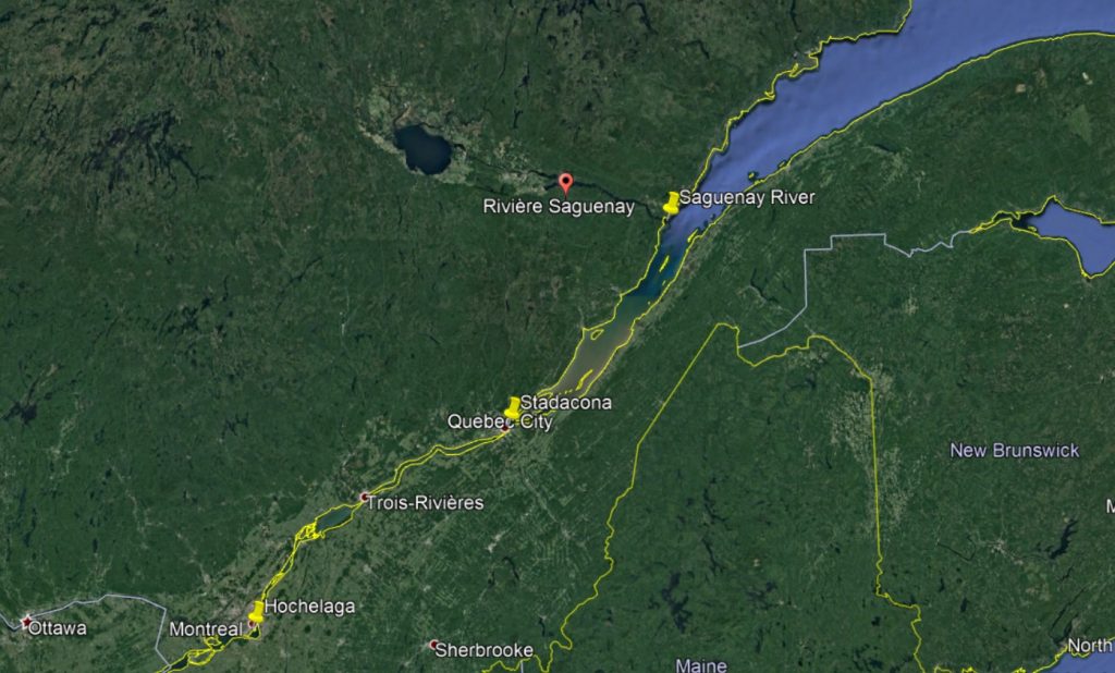
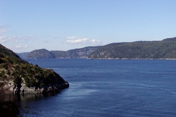
Cartier wrote of the incident in his journal. When translated into English, this entry reads:
“… in the middle of the steam lie three islands, and opposite to them there is a very deep and rapid river, which is the river and route to the kingdom and country of the Saguenay, as we were informed by our two men from Canada. This river issues from between lofty mountains of bare rock with but little soil upon them…”
Cartier’s native informants did not elaborate that day on the qualities of this mysterious Kingdom of Saguenay- a domain which would prove in the coming months to be among the most exotic, intriguing, and baffling of Canada’s ‘lost lands’.
After visiting and exchanging gifts with Donnacona and his band at Stadacona, Cartier and his men, against the chief’s advice, continued up the St. Lawrence River in search of another Iroquois village called Hochelaga, to which the chief’s sons had alluded during their time in France. Cartier and his crew quickly discovered the village opposite what we now call the Island of Montreal.
The Frenchmen visited Hochelaga and exchanged gifts with the natives. The Iroquois packed a pipe to celebrate the occasion, and thus the explorers became the first Europeans to smoke tobacco.
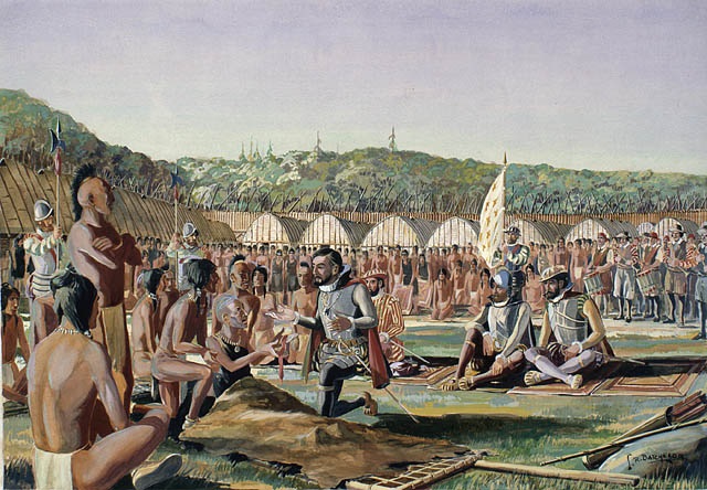
During the explorers’ stay in Hochelaga, the natives pointed to the gold and silver medals that Cartier and his officers wore and explained, using gestures and hand signs, that these metals could be found in great quantities in a land to the northwest- a country occupied by warlike tribes which fought with each other constantly, which could be accessed by a the river we know today as the Ottawa. As if to test his informants, Cartier presented them with copper objects and asked if that metal, too, could be found in that mysterious region to the northwest. The Iroquois indicated that the country was not known for its copper, although the metal could be found further to the south.
Could this nameless land of gold and silver, the explorers wondered, have any connection with the mysterious Kingdom of Saguenay?
After concluding their business in Hochelaga, Cartier and his men returned downriver to Stadacona, where they decided to spend the winter. During the cold and bitter months which followed, the Frenchmen learned from their Iroquois hosts that the Kingdom of Saguenay was indeed the same land alluded to by the Hochelaga villagers, said to contain vast quantities of gold and silver. Goaded by their eager French audience, the natives claimed that Saguenay was a vast and populous country whose people dressed in clothing not unlike that worn by the French explorers. Donnacona himself informed the Frenchmen that Saguenay was rich not only in gold and silver, but also in rubies, fine furs, and a large variety of valuable spices, and that its citizens not only wore European-style clothes, but also had white skin, evoking the mysterious “White Man’s Land” alluded to in the Viking sagas.
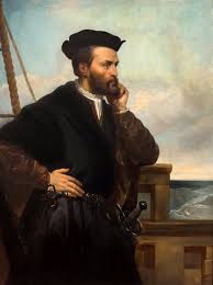
It is interesting to note that, among the many fantastic tales which Donnacona related to the credulous explorers around the campfire that winter was a story echoing the Viking legend of the Land of the One-Footers. “He told us furthermore,” Cartier wrote in French, “that he had been… to another country whose inhabitants have only one leg…”
Spring came and Cartier and his men prepared to depart for France. Before leaving, they kidnapped Chief Donnaconna and nine other Iroquois villagers by luring them onto the deck of one of their ships. The explorers pacified the enraged chief by promising him that the King of France would bestow great gifts upon him and his people. With little choice but to submit to the explorers’ wishes, Donnacona bid his family farewell as Cartier and his men guided their ships down the St. Lawrence.
The explorers and their indigenous captives arrived safely in France after an uneventful voyage, whereupon Cartier presented the Iroquois chief to King Francis I. In the newly-constructed gallery of the Chateau de Fontainebleau, on the outskirts of Paris, Chief Donnacona regaled the French king with the same tales he had told to Cartier and his men that winter. Foremost among these was the tale of the fabulously wealthy Kingdom of Saguenay, a story in which King Francis I took tremendous interest.
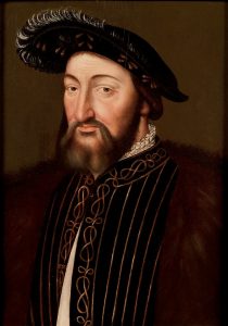
Before the French king had the chance to outfit Cartier for another voyage to Canada, war broke out between France and the powerful House of Habsburg (which controlled both the Spanish and the Holy Roman Empires), the conflict revolving around a dispute regarding control over Northern Italy. Three years after Francis I and Emperor Charles V finally affixed their seals to a truce in 1538, the King of France commissioned Jacques Cartier with leading a third voyage to Canada, this time for the purpose of colonizing New France.
Unfortunately, neither Jacques Cartier nor any of the North American explorers who followed him were able to discover evidence of the mysterious Kingdom of Saguenay. By the end of the 16th Century, even the most imaginative mapmakers had, as one historian put it, “become firmly convinced that Saguenay was a myth, and it disappeared from maps as it had disappeared from the minds of men. It lingered on only in the name of the gloomy river that was supposed to lead to the great empire.”
Is there any truth behind the incredible tales that Jacques Cartier and his crew learned from the St. Lawrence Iroquois during their second voyage to Canada?
Maybe, as suggested earlier, the lost kingdom has some sort of connection with the “White Man’s Land” alluded to in the Viking sagas.
Perhaps the tale is related to some indigenous memory of the Vikings themselves, who colonized northern Newfoundland more than five hundred years before Jacques Cartier first set foot in the New World.
Maybe the elusive kingdom was nothing more than a fable invented by Donnacona and the natives of the St. Lawrence for the benefit of their gullible European guests, who were clearly interested in the acquisition of gold and silver.
Or perhaps there truly was a kingdom gilded with gold and rubies hidden away in the wilderness of Quebec, its legacy little more than a fading Iroquois legend by the time of Cartier’s first voyage…
The Isle of Demons
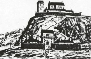
In 1541, following his third and final voyage to the New World, Jacques Cartier established a small colony of 400 souls at the site of what would later become Quebec City, not too far from the Iroquois village of Stadacona. This colony, called Fort Charlesbourg-Royal, was the first French attempt at permanent settlement in what would become New France.
Although Cartier and his fellow colonists would abandon the fort two years later on account of harsh weather, scurvy, and incursions by hostile Iroquois warriors, Fort Charlesbourg-Royal enjoyed a brief tenure as the capital of France’s first North American province. King Francis I appointed a French corsair named Jean-Francois de La Rocque de Roberval as Lieutenant General of his new colony, and in the spring of 1542, Roberval set out across the Atlantic, determined to join Cartier and his colonists and assume his position as France’s highest-ranking representative in the New World.
The Affair of Marguerite de La Rocque de Roberval
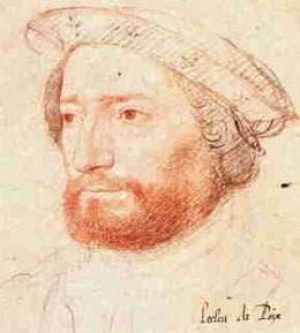
Roberval was accompanied on this voyage by his young unmarried cousin, Marguerite de La Rocque de Roberval. Marguerite caught the eye of a certain French nobleman aboard the ship whose name has been lost to history (although some fictional accounts identify him as Etienne Gosselin, a shipwright), and soon the gentleman began paying visits to young demoiselle’s cabin. Encouraged by her servant, an old Norman chambermaid named Damienne, Marguerite began to reciprocate the aristocrat’s affections, and in no time the couple were engaging in illicit trysts while Damienne stood watch nearby.
One of the French sailors aboard the vessel discovered the secret affair and reported it to Roberval. Infuriated by his relative’s scandalous behavior, the Lieutenant General resolved to maroon his cousin, her lover, and their accomplice Damienne on an island off the coast of New France. He rolled out his personal map of the country, which he had acquired from Cartier, and quickly found a place which suited his purpose perfectly- a spit of land with a sinister name, the “Isle of Demons”.
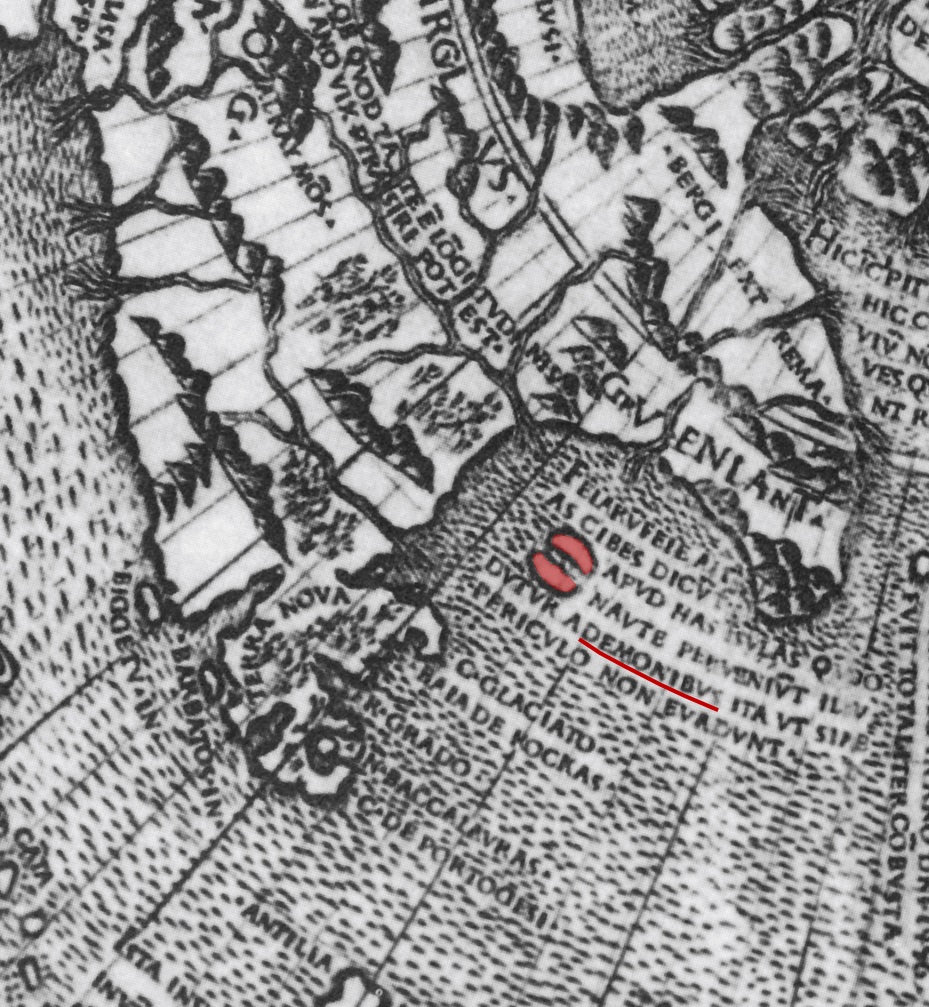
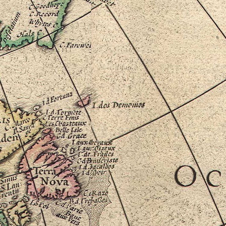
The Isle of Demons first appeared in print in 1507, on a famous map of the world drawn by Dutch cartographer Johannes Ruysch, who was an acquaintance and possible shipmate of John Cabot. The isle was said to be large, beautiful, and uninhabited, and natives and whites alike would often hunt and fish on its shores in the daytime. The island’s physical charm, however, was but a material façade which served to disguise a dark and frightening secret that lay at its core.
Legend has it that the Isle of Demons was haunted by ghosts and evil spirits, and that if any of its visitors ventured too far into the island’s wooded interior, its spectral inhabitants would attack them. The island’s sinister nature was first alluded to in an inscription accompanying Ruysch’s 1507 map, which reads, in Latin: “Demons assaulted ships near these islands, which were avoided but not without peril.”
According to Andre Thevet, a 16th Century French traveler and Franciscan priest, a number of mariners personally told him that, while passing the island during a storm:
“…they heard in the air, as if on the crow’s nest or masts of their vessels… human voices making a great noise, without their being able to discern intelligible words, only such a murmur as you can hear on market-day in the middle of the public market. These voices caused them a hundred times more astonishment than the tempest around them. They well knew that they were close to the island called the Isle of Demons, but they paid no heed to this fact until some good people offered up prayers and invoked the holy name of Jesus; and little by little the murmur died away, although the storm continued for a long time afterward.”
It was on this haunted island that Lieutenant Governor Roberval decided to maroon the hapless trio, leaving them with four aquebuses (matchlock muskets), a quantity of shot and gunpowder, a fire-steel, some provisions, a few iron tools, and a copy of the New Testament.
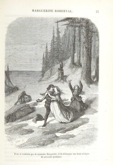
Resigned to their fate, the castaways decided to make the most of their lamentable situation and set about constructing crude beds and a primitive shelter from spruce boughs. They began to subsist on wild game, which they hunted with their arquebuses, and supplemented their diet with wild fruit.
Each night, the trio was tormented by the island’s demons, which assumed hideous forms and capered outside their shelter in the darkness, sometimes shrieking so loudly that, as Thevet put it, “it seemed as if there were more than 100,000 men together.”
Weeks turned into months, and soon Marguerite learned that she was pregnant. Unfortunately, her paramour would not live to see the birth of his child. After he succumbed to a fever acquired from consuming contaminated water, Marguerite buried her lover in as deep a grave as she could dig. Her efforts did little to prevent the scent of his decomposing corpse from attracting wild animals, however, and Marguerite found herself spending many an evening driving bears and other scavengers from the noble’s tomb with her arquebus.
Unable to withstand the privations of the primitive lifestyle that had been forced upon her, old Damienne passed away before the first snowfall, leaving Marguerite to deliver her child alone. Although both Marguerite and her child survived the birthing, the infant tragically followed her father to the grave shortly thereafter, leaving her mother utterly alone but for the Isle of Demons’ eponymous residents.
For nearly three years, Marguerite eked out a living on the accursed island, surviving by her wits and her steadily-dwindling supply of gunpowder. Repenting her sins, she turned to prayer and sacred scripture, spending many hours thumbing through what would become a well-worn Bible. Her prayers were finally answered when, in the autumn of 1544, a crew of Basque fishermen spotted her walking along the shore and rowed over to investigate. After listening to her incredible tale, the fishermen brought Marguerite, along with several bear skins she had preserved (one of them belonging to a polar bear), across the Atlantic to the French city of La Rochelle, where she would later teach reading and writing to the daughters of local noblemen.
Today it is believed that Marguerite and her fellow castaways were marooned on Quirpon Island, a tiny island off Newfoundland’s Great Northern Peninsula which bears little resemblance in shape or location to the Isle of Demons which featured so prominently in 16th and 17th Century maps of North America. It appears that Lieutenant Governor Roberval equated Quirpon Island with the sinister-sounding Isle of Demons in an effort to deter future rescue attempts.
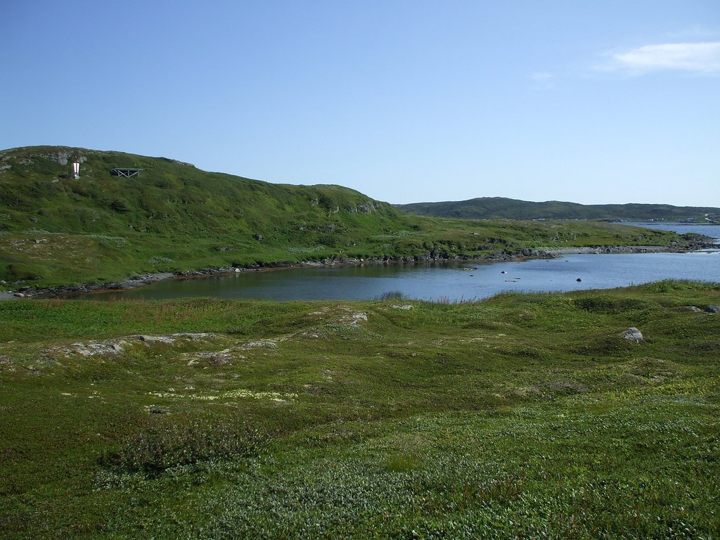
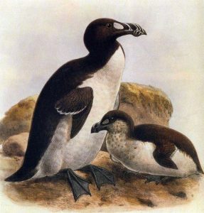
If the island on which Marguerite and her companions were stranded was not the real Isle of Demons, then what can account for the diabolical visitors whom Marguerite claimed harassed them at night? Some writers have observed that the sound of the wind whistling through the sea rocks off Quirpon Island has a peculiar humanlike quality, and that great auks- a species of large flightless bird which once thrived in the North Atlantic; which were hunted to extinction in the 19th Century- made truly ghastly noises at night. Perhaps Marguerite’s demonic tormentors were little more than the product of this unsettling nocturnal cacophony and an overactive imagination.
If Quirpon Island is truly not the Isle of Demons, then where is that accursed isle located? Despite a once-widespread belief in its existence, the Isle of Demons began to vanish from European maps in the mid-1600s. Today, the Isle of Demons is believed to be a phantom island- a fictional location based more upon travelers’ tales than on actual survey work. Perhaps the Isle of Demons is nothing more than a piece of 16th Century fantasy… or perhaps there really is an island in the North Atlantic where demons prowl, waiting for some hapless explorer to venture inland from the island’s lonely shores.
The Tropical Valley in the Arctic
Set in Northern Canada in the wake of the Klondike Gold Rush, the fourth and final lost world on this list is far removed from the Atlantic Northeast and the early days of North American colonization. I describe this elusive locale in great detail in my book Legends of the Nahanni Valley, and thus will restrict my depiction of it here to a few short paragraphs intended to summarize the legend in general.
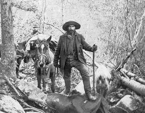 In 1897, thousands of prospectors from all over the world flocked to the Yukon Territory in northwestern Canada, prompted by news of a gold strike on a tributary of the Klondike River. Few of those who set out for Dawson City, in the heart of the Klondike, actually made it to their destination, and of those few, even fewer managed to strike it rich.
Undaunted, many of those who failed to find their fortunes in Klondike Country searched for gold in other far-flung regions of Northern Canada and Alaska. Throughout the early 1900s, some of these prospectors returned from their boreal wanderings with strange tales of ghosts, phantom lights, and hairy wild men. One of the many incredible tales which made it to the Outside, as northerners often referred to southerly civilization, spoke of a steamy tropical valley in the arctic which remained free of snow and ice through even the most severe winters.
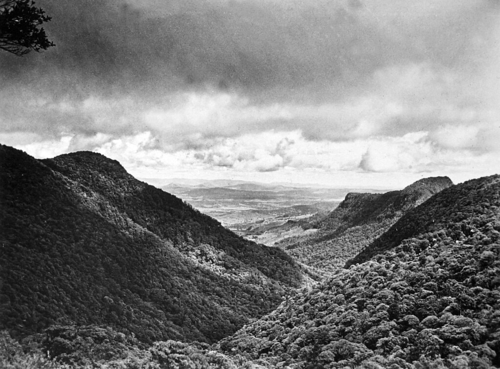
Like the beyul of Tibetan Buddhist tradition (Edenic hidden valleys in the Himalayas, said to be protected from snowstorms and wild animals), this arctic oasis was reported to be thick with lush and exotic greenery, kept warm by the many hot springs which ran through it. Despite the huge herds of game which took refuge in this northern paradise, the regional natives who knew of its existence shunned the place, fearful of the evil spirits and huge prehistoric monsters whom they believed inhabited its jungle.
Sources
The Lands of Viking Legend
- Saga of Erik the Red (13th Century), author unknown
- The Farfarers: Before the Norse (1988), by Farley Mowat
The Lost Kingdom of Saguenay
- The Glorious Kingdom of Saguenay, by Joseph Edward King in the 1950 issue of the Canadian Historical Review
- Jacques Cartier, by Bernard Allaire in the August 29, 2013 issue of the Canadian Encyclopedia
The Isle of Demons
- Andre Thevet’s North America: A Sixteenth-Century View (1986), by Roger Schlesinger and Arthur P. Stabler
- Heptameron (1558), by Queen Marguerite de Navarre
- Sea Birds, Castaways, and Phantom Islands off Newfoundland, by J.R. Carpenter in a speech at the British Library on August 7, 2015
The Tropical Valley in the Arctic
- Legends of the Nahanni Valley (2018), by Hammerson Peters


Leave a Reply